
PRECISION MAPPING. EQUIPPED FOR SCALE.


Organizations responsible for critical infrastructure depend on accurate geospatial data to guide planning and investment decisions. Traditional manned aerial surveys remain slow to deploy, expensive to operate, and limited in the precision they can deliver.
Range offers a solution.
We are a dedicated aerial mapping and scanning company delivering:
- FAA-authorized Beyond Visual Line of Sight (BVLOS) autonomous operations
- Data accuracy exceeding Quality Level 1 (QL1)—the highest USGS quality standard
- ASPRS-compliant positional accuracy on all orthoimagery and point cloud deliverables
- GIS-ready deliverables in agency-standard formats: GeoTIFF, LAS/LAZ, geodatabase
Backed by Granger Construction’s nearly 70-year legacy of infrastructure excellence and innovative construction, RANGE delivers precision aerial mapping and scanning at any scale.

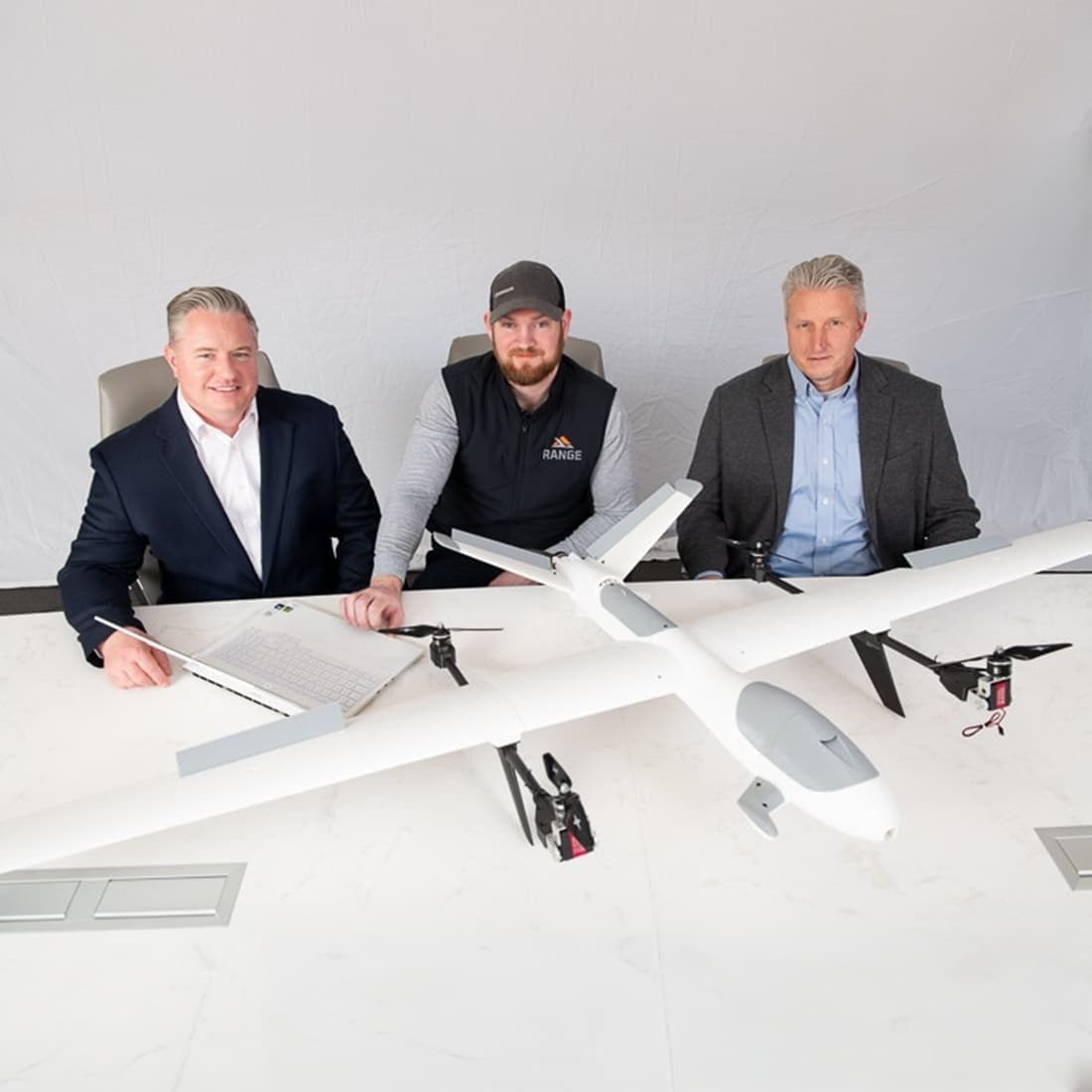
ENGINEERED BY EXPERTS. BUILT TO DELIVER.
The RANGE team has developed a deep expertise in geospatial systems, precision mapping technology, and large-scale program execution.
Our Chief Technical Officer, Nick Ross, brings nearly a decade of experience as an Aviation Technology Specialist with the U.S. Air Force, designing and managing flight systems in demanding, compliance-driven environments. That discipline now defines how RANGE operates.
Under Nick’s leadership, RANGE developed patent-pending Beyond Visual Line of Sight (BVLOS) technology purpose-built to expand flight range, accuracy, and operational efficiency beyond what traditional systems can deliver.
With RANGE, you can make better project decisions now and into the future.
The RANGE team executes everything from single-site surveys to multi-year statewide programs with the technical depth and regulatory expertise government and institutional partners require.